Geology
The oldest rocks identified in San Diego County date from the middle of the Mesozoic era-age of the dinosaurs- 190 to 150 million years ago. The land in the southwest formed an island arc, similar to Japan. To the west was a deep sea trench and to the east a shallow sea. This geological pattern forms what is called a “subduction zone”, where one plate of the earth crust slides beneath another. The Pacific plate to the west slid into the North American plate to the East. This action created long periods of great volcanic activity, followed by erosion processes.
Millions of years ago, the Pacific coast of Mexico and Southern California started to break up. The Pacific Plate began to move northwest relative to the North American plate. This caused a renewal of volcanic activity. The stress of this movement formed the San Andreas Fault zone. The Southern California ‘Batholith’ rose out of the molten mantle beneath it all. Envision big bubbles of liquid rock which combined with the shallow sea floor as it rose; creating a diversity of rock formations.
The flat plain that had been the west coastal area, tipped upward like a giant wedge, forming the Peninsular Ranges from south of Los Angeles to the center of Baja California, of which Volcan Mountain is a part.
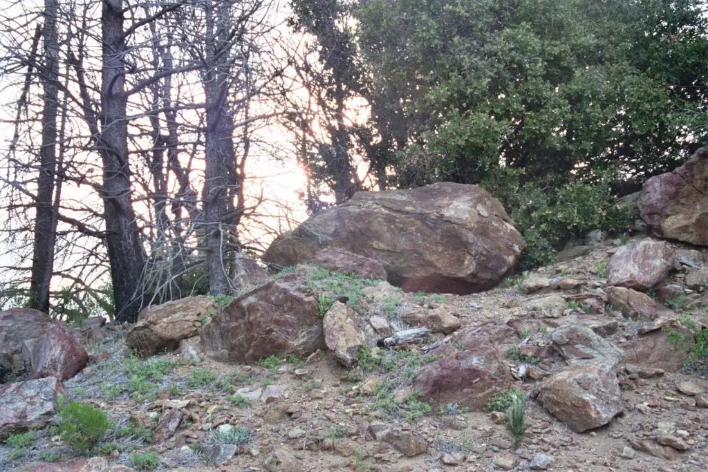
Jurassic/Cretaceous rocks of the batholithic period are composed of undifferentiated granite and tonalities. Also found is Triassic metamorphic rock composed of micaceous schist, gneiss and quartzite, known as Julian schist. The Julian schist that became exposed through erosion was found to be layered with rich ore-bearing quartz containing gold of unusually high grade (940-980 fine).
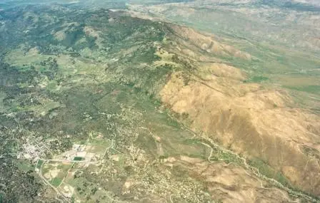
Driving east from San Diego, you climb the gentle slope of this tipped mountain area, to the top of Volcan, where you look east to where the mountain drops quickly down the gulf escarpment on the east face to the Salton Sea depression. Tectonic activity is still in process as can be seen by the slanting vertical patterns on watersheds and smaller canyons on the north flank of Banner Canyon.
The Volcan area is capable of a 7.3 earthquake. Most recently, on Easter Sunday, April 2010, a 7.2 earthquake reverberating from El Centro did rock the Julian area. The Elsinore Fault, a sub-parallel fracture of the San Andreas Fault, traverses Volcan Mountain in a northwest/southeast direction. It has produced many small earthquakes over the past years. We feel the earth move under our feet in the Volcan region!
Weather
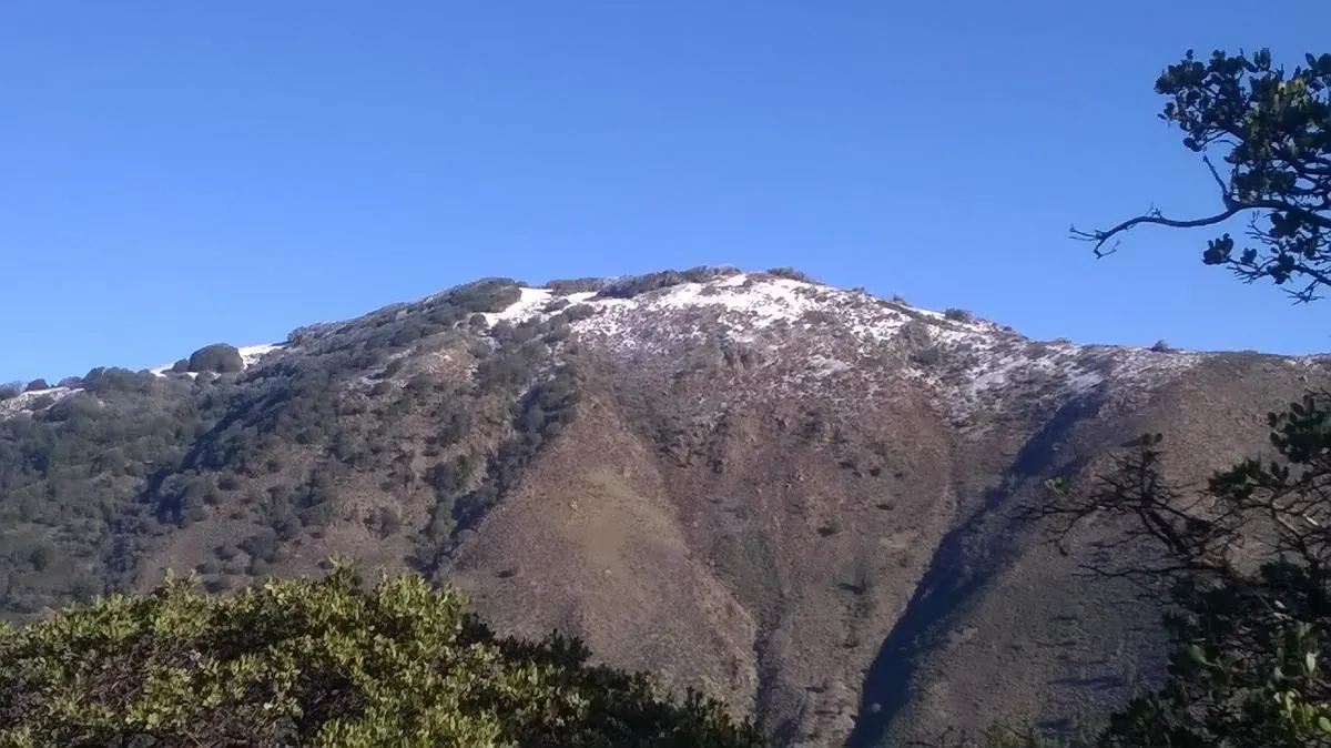
The Volcan Mountain range is home to many microclimates; meaning that its various elevations and angling slopes create different weather patterns. The Peninsular Range, of which Volcan is a part, causes moisture moving inland from the Pacific to rise up and condense, dripping moisture as rain or snow. This causes a wet western-facing slope and a dry eastern-facing slope.
Near the 5,850’ high peak in the range, cool weather is present much of the year, especially in the early morning and nights. Rain can be expected from possible thunderstorms in July and August and snow is not unusual as late as May or as early as November. These are important things to keep in mind as you prepare to hike the mountain.
In lower elevations around 4,200’, summer temperatures average in the mid to high 80s, but have been known to reach 100˚ or more. Winter highs average in the mid to high 50s, but lows can dip down into the teens.
On the east side of the range which faces the desert, as little as 12 inches of rain fall a year. On the west side several inches of rain can fall during a single day in a heavy rainstorm. The average rainfall is between 30-35 inches a year.
Southern California’s dry, hot summers and wet winters create the Mediterranean climate found in parts of Europe where chaparral and oak woodlands are the dominant plant communities. Volcan’s higher elevations also produce forest communities of conifers with the additional rainfall.
Come enjoy all of Volcan Mountain’s seasonal weather patterns, but be prepared!

Water
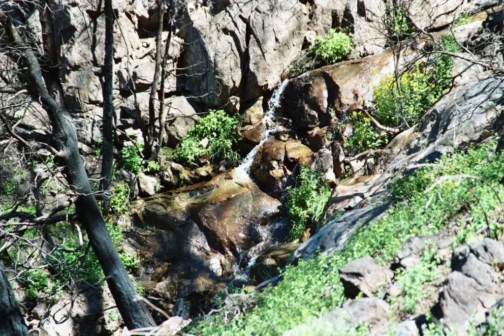
The Volcan Mountain Range is a main contributor to quenching San Diego’s thirst! It is a vital regional resource. In San Diego County water from Volcan Mountain feeds three of the largest watersheds in the San Diego Basin (water that flows west directly into the Pacific Ocean). San Felipe Creek starts high atop Volcan Mountain and drops sharply east to the desert, feeding the Anza-Borrego Watershed and Colorado Basin that flows east to the Salton Sea and into the Gulf of California.
An average of 30+ inches of precipitation a year contribute to the pristine source waters such as Ironside and Catfish Springs that feed the San Luis Rey, San Dieguito, and San Diego River watersheds, flowing 55-60 miles to San Diego's metropolitan communities and coastline and comprising 1,366 square miles out of the total 2,951 square miles of coastal flowing watersheds in San Diego County.
Hahachepang means "Where the waters come from" and refers to several springs. It's the traditional Native American name for the Volcan Mountain Range. For thousands of years, human and animal communities have known that Volcan Mountain is a source of life and energy.
Protecting headwater areas is the single most effective way of maintaining downstream water quality and hydrologic functions of watersheds. Loss of natural watershed processes in headwater streams can cascade to areas far downstream of the source of the impact itself, so water quality on Volcan is extremely important. Conservation efforts like fuel reduction and management ensure that wildfire severity is kept in check, minimizing erosion and soil contamination in water bodies to protect habitat and water resources downstream.
Plants & Animals
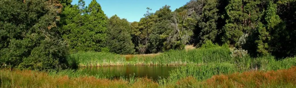
Volcan Mountain is an extremely pristine and biologically diverse area. Over 30 different types of plant communities have been identified which provide habitat for a wide variety of wildlife species as well. The relatively undisturbed nature of the mountain also provides a stronghold for some of San Diego’s rare plant and animal species. Preliminary biological studies have recorded 45 species of mammals, over 150 birds, 36 reptiles, 12 amphibians, and an unknown number of insects and other invertebrates.
Volcan Mountain Foundation Video Stories
VMF's "12 Days of Earth Day" Sing-Along Video for the 50th Anniversary of Earth Day
From the post: A sing-along marking the 50th anniversary of Earth Day. Janice Bina-Smith and Susan Meyer wrote “12 Days of Earth Day” in 2020; Janice performs guitar and vocals with the Volcanettes, Colleen Bradley and Kaleigh Kaltenthaler.
"12 Days of Earth Day" -- Written by Janice Bina-Smith and Susan Meyer, 2020 Performed by Janice Bina-Smith (Guitar & Vocals) and The Volcanettes (VMF Executive Director, Colleen Bradley and Kaleigh Kaltenthaler)Volcan Mountain Foundation - 30 Years of Preservation
From the post: “30 Years of Preservation” marks three decades of the Volcan Mountain Foundation’s preservation work. Creative Flow Media filmed and edited the video. Its music includes “The Volcan Mountain Suite,” composed by Nicolas Reveles, with music by Nicolas Reveles and Peter Dayeh.
Music: "The Volcan Mountain Suite", composed by Nicolas Reveles Music by Nicolas Reveles and Peter Dayeh Filmed and edited by: Creative Flow Media Funding for this video was provided by: The Volcan Mountain Foundation andThe Marjorie and Joseph Rubenson Endowment for Art and Science at Volcan Mountain
Keeping it Wild - Cultivating Nature Conservation on Volcan Mountain
From the post: Julian Boy Scout Troop 690 helps finish VMF’s Sky Island interpretive trail through a service-learning project. The trail connects scouts, students, volunteers, and conservation groups with nature through the Foundation’s Education-Outreach program.
Come explore the wild wonders of Volcan Mountain, as Julian Boy Scout Troop 690 participates in a service learning project that puts the finishing touches on the Volcan Mountain Foundation’s Sky Island interpretive trail. The trail is an integral component for bringing other scout, student, volunteer and conservation groups out to connect with and learn about nature through the Volcan Mountain Foundation’s Education-Outreach program.
Credits:
Michael Pinto, Ph.D., VMF, President
Greg Schuett, VMF, Vice President
Sharyl Massey, Naturalist, VMF, Board Member
Colleen Bradley, VMF, Executive Director
Music:
Kathleen Beck & Jim Lydick
Produced, filmed and edited by:
Jim Karnik Films
Filmed with a Canon 7D DSLR System
Funding for this video was provided by:
The Volcan Mountain Foundation
Preserving the Spectacular
From the post: “Preserving the Spectacular” was filmed and edited by Joyce Axelrod. The post credits contributions from VMF representatives, naturalists, County of San Diego representatives, The Nature Conservancy, and artist James Hubbell.
Credits: Michael Beck, County of San Diego Planning Commissioner Jeff Rundell, County of San Diego Parks and Recreation, Park Ranger Clint Powell, Naturalist Toni Marquette, VMF, Board Member Susan Cary, VMF, Director Greg Schuett, VMF, Board Member, President Emeritus Vicki Bergstrom, VMF, Board Member, Peter Bergstrom, VMF, Board Member Ann Van Leer, The Nature Conservancy, Director James Hubbell, Artist Dianne Jacob, County of San Diego Board of Supervisor, Member Filmed and edited by: Joyce AxelrodHuman History
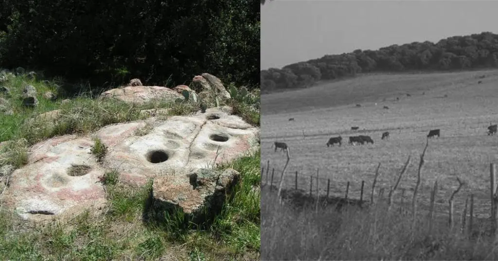
The people who lived on Volcan somewhere in the vicinity of 2,000-200 years ago, called themselves, The People, or Iipay, in their language. The Iipay lived in small bands in the canyons and on the rims of the canyons, and they produced little in the way of what we today would call ‘trash’. Artifacts such as arrowheads, pottery shards and morteros can be found, yet even these are scarce.
Archeologists have found artifacts on the eastern side of the mountain dating back 6,000 years. These Natives have become known as Native Americans, as their history has been lost to us.
The Iipay today are closely related to the Yuman Indian peoples who may have inhabited the desert for the past 11,000 years. As the seasons changed from cold to warm, the Native Americans moved from desert to mountains and used the land without infringing on other’s territories as much as possible. However, there were disputes as competition for resources occurred with population fluctuations. There were times of wintering, of wars and of ceremonies where the clans would come together to form a larger group.
There was an abundance of food. Just a few of the food sources included acorns, berries, roots, grass seeds, deer and rabbit. Their diet was diverse due to the variety of plants that could grow in both desert and mountain communities. In turn, this allowed for a wide variety of animal life to thrive. As nomadic hunter-gathering people, the land had much to offer.
As early as 1775 some Native People begin to see their way of life change dramatically as the Spanish and Mexican colonizers arrived. Due to the mission-life demands and their agricultural lifestyle, the Iipay were forced to adapt. A branch of the California Missions, the Asistencia de Santa Ysabel, was built in 1818 at the foot of Volcan’s western slope where the Santa Ysabel Creek descends. It became the focal point of ‘Indian affairs’ once the Iipay were moved and forced to adopt Christianity and the agricultural way of existence.
Following the Spanish conquests, Anglo-Americans, trappers, miners, loggers and ranchers poured into the region. The land went from the Mexican government to the U.S. government in 25 years time. During the 1870’s the settlers began litigation to gain title to the lands, and to evict the Iipay. The ensuing conflicts brought in the United States Federal Government which designated the surrounding 15,500 acres as the Santa Ysabel Reservation in 1875.
Of the 15,500 acres of Reservation land, 8,000 acres lie on the northwestern flank of Volcan Mountain. Descendants of the original clans engage in cattle ranching and now, like many tribes across the country, operate a casino. Today approximately 75 landowners have holdings on Volcan Mountain, including the Iipay Nation of Santa Ysabel.
The earliest known cabins were built and occupied on the mountain as far back as 1863. Of the families known to have resided on Volcan, the largest ranch was the 6,000 acre ranch of the Grand family, who settled on the east side of the mountain in Arkansas Canyon. In addition to grazing cattle and sheep, the ranch supported vineyards, crops, and a 2 story home constructed of local stone.
Some of the families who resided there in the late 1800’s were the Horrall family, The Saunders family and the Webb family.
How Did the Volcan Mountain Range Get It's Name?
There are differing sources and possible explanations as to how Volcan Mountain got its name.
Some have said that Volcan is a version of the word volcano and that early settlers thought they saw volcanic rock and ash. This is a little hard to believe as the range is covered with granite not volcanic looking rock. Perhaps a fire had recently occurred, yet we would expect people then to have been more understanding of nature and to know the differences between volcanic ash and fire ash.
A Times-Advocate article dated 1972 was written on the naming of Volcan Mountain:
In around the year 1844 there was a man named Edward Stokes who was a son in-law of the Mexican land grant owner of Rancho Santa Ysabel, Jose Joaquin Ortega. Stokes and Ortega managed this land around the Mission in Santa Ysabel, as Ortega was a majordomo for a couple of the missions in what we now called San Diego County and knew the lands of the San Diego area.
With the cessation of California to the United States following the Mexican-American War, the 1848 Treaty of Guadalupe Hidalgo provided that the land grants would be honored. The land was patented to Ortega and Stokes in 1872. The name of the ranch at that time was Rancho de Santa Ysabel Balcón. It is said by some that if you look at the valley of Santa Ysabel from west to east, the curvature of the mountain looks like a balcony of which the Spanish word is balcón.
On a map around 1860 there was a family said to be living on the mountain by the name of Vaulcan, yet this family name did not turn up on the official records at that time. There is a family living in Mesa Grande today by the name of Vaulcan.
We hope that this introduction explains how Volcan Mountain got its name and inspire more discussion about its history.
Real Time Weather at VMF's Volcan Mountain Nature Center
 Station Location:
The Keith and Priscilla Webb and Family Education Center
22850 Volcan Rd Julian, CA 92036
Lat/Lon: 33.13° N, 116.601° W
Elevation: 4,239 feet, 1,292 meters
Sensors and Tracking: Inside and outside temperature and humidity, barometric pressure, wind speed and direction, rainfall, dewpoint, wind chill
Mesonet Broadcast: Five minute data update interval. Other sites to view this station's data, including historical data:
Weather Underground station ID: KCAJULIA114: Link
NOAA MADIS meteorological observational database station ID: GW0500: Link
MesoWest Surface Weather Maps station ID: GW0500: Link
Notes:
- Since 2015, the California meteorological "water year" season measures rainfall totals from October 1 to September 30 of the following year.
- Snowfall and water equivalence is tricky to measure accurately with automated systems. When you see news reports, they are measurements from observers using old fashioned rulers and "snow boards". Our system will collect a couple of snowfall inches in the rain gauge, and then measure some of the water as it melts. Bottom line -- we'll do our best to observe snowfall and manually adjust the water year totals to reflect the rainfall equivalence of our occasional snowfalls.